
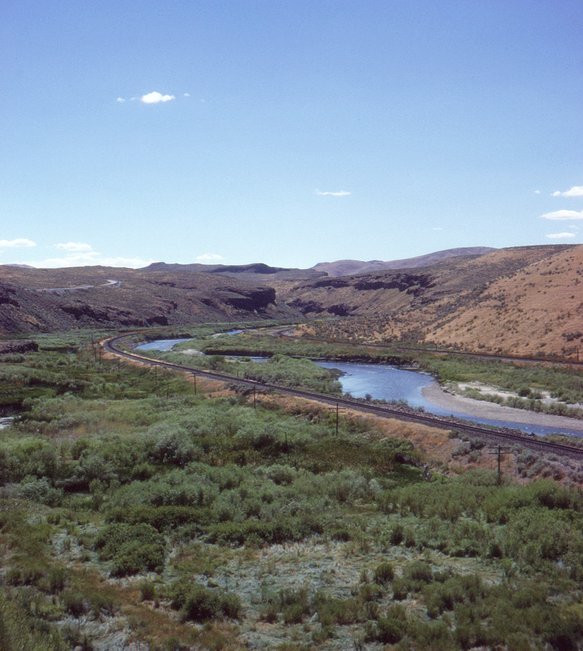
In this view looking west from Nevada State Route 278, at a location just west of Carlin, Nevada we see the parallel mainlines of the Western Pacific (left) and Southern Pacific (right) entering Palisade Canyon, with the Humboldt River between them. A short distance around the bend is Palisade, where at one time the narrow gauge Eureka & Palisade railroad took off to the south.
There's a bit of irony in this scene. When the Union Pacific and Central Pacific (later Southern Pacific) were approaching their meeting point (ultimately to be Promontory Summit, Utah) they began grading past each other's lines in hopes of collecting extra government subsidies, thanks to ineptly drawn Congressional legislation and bureacratic inertia in the Department of the Interior, until many miles of unneeded grade were ultimately built and discarded. Then, in the early 1900's the Western Pacific proceeded to build a parallel line all the way from Salt Lake City to Winemucca, Nevada. Ultimately the WP was taken over by the Union Pacific in 1983, resulting again in parallel SP/UP lines across Nevada. (History doesn't usually repeat itself; it outdoes itself.) Finally, in the unkindest cut of all, UP swallowed up SP in 1997, finally reducing the number of railroads across the northern part of the state back to one. As Kurt Vonnegut was wont to say, And so it goes
